Southern California is bracing for a dramatic weather shift as moisture associated with Tropical Storm Rachel moves into the region. After enduring a period of extreme heat, residents are now being warned of potential thunderstorms, significant rainfall, and localized flooding hazards beginning this weekend. Meteorologists and local authorities are urging immediate preparation as the atmospheric instability shifts from heat-related risks to water-driven hazards.
Key Highlights:
- Immediate Shift: Region is pivoting from an intense, prolonged heatwave to high-humidity instability and precipitation.
- Flash Flood Risk: National Weather Service (NWS) projections indicate high saturation risks, particularly in burn-scar areas and urban drainage zones.
- Weekend Onset: Hazardous weather conditions are expected to materialize starting this weekend, with potential for localized flooding and wind gusts.
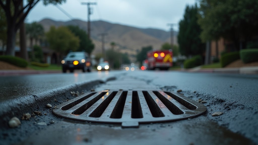
- Essential Preparedness: Residents in low-lying areas and known flood zones are advised to clear debris from gutters and drains immediately.
The Atmospheric Pivot: From Extreme Heat to Hydrological Threat
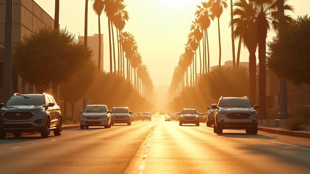
The meteorological transition facing Southern California is stark. For the past week, the region has been trapped under a high-pressure dome, resulting in record-breaking temperatures and elevated fire risk. However, the arrival of tropical moisture—the byproduct of Tropical Storm Rachel—is fundamentally altering the regional weather profile. Unlike the dry heat that characterizes most Southern California summers, this incoming air mass is laden with precipitable water, creating a recipe for convective storm development.
Meteorological Dynamics and Moisture Influx
The core of the threat lies in the interaction between the remnants of Tropical Storm Rachel and the region’s complex topography. As this moisture pushes inland, it encounters the coastal mountain ranges, leading to orographic lifting. This process forces the moist air upward, rapidly cooling it and condensing it into heavy rainfall. Meteorologists at the National Weather Service (NWS) have noted that even localized thunderstorms in this environment can dump significant precipitation in short intervals. This rate of rainfall exceeds the soil absorption capacity, particularly in areas still recovering from previous fire seasons, where hydrophobic soil conditions exacerbate run-off.
Vulnerable Geographies and Infrastructure Impact
The impact will not be uniform. While the entire region is under alert, specific zones face heightened risk. Coastal valleys and the foothills of the Transverse Ranges are particularly susceptible to flash flooding. Furthermore, the region’s urban infrastructure, designed primarily for a semi-arid climate, faces a significant stress test. Aging storm drains, which have been dry and obstructed by summer debris, may fail to manage the rapid volume of water, leading to nuisance flooding on major thoroughfares. This creates a dual threat: the meteorological event itself and the secondary hazard of compromised transportation routes.
Secondary Angles: Resilience and Future Forecasting
To understand the broader implications of this event, we must consider three distinct secondary angles. First, the infrastructure resilience issue. Southern California has historically struggled with urban drainage during ‘flash’ events, a byproduct of decades of drought-focused planning. This storm serves as a critical test for local flood control measures. Second, the historical context of remnant storms. While rare, storms that drift into the Eastern Pacific and turn north—like the remnants of Tropical Storm Rachel—often defy standard forecasting models due to the complexity of the California current. Finally, the economic impact on outdoor commerce. With a region heavily reliant on outdoor events, tourism, and agriculture, the sudden disruption of the weekend schedule carries a measurable economic cost, forcing event organizers and farmers to pivot rapidly to mitigation strategies. The ability of the region to absorb this moisture without major damage will serve as a bellwether for future climate adaptation efforts.
FAQ: People Also Ask
Q: Is it safe to travel during the storm onset this weekend?
A: Authorities advise against unnecessary travel during periods of peak rainfall. If you must drive, exercise extreme caution, especially in mountain passes where mudslides are possible, and never attempt to cross flooded roadways.
Q: What is the primary difference between this storm and a standard winter rain?
A: This system brings high humidity and tropical-origin moisture, which creates a higher potential for rapid, intense downpours and lightning, rather than the sustained, steady rain often associated with typical winter low-pressure systems.
Q: How can I prepare my home for the flash flood threat?
A: Ensure your property’s drainage paths are clear of debris. Check that downspouts are directed away from your foundation, and have a “go-bag” ready with essential documents, water, and emergency lighting, just in case localized flooding necessitates evacuation.