A powerful atmospheric river is currently sweeping across Southern California, dumping significant precipitation and placing Los Angeles on high alert for catastrophic flooding and debris flows. The National Weather Service (NWS) has issued multiple Flash Flood Watches, specifically targeting regions scarred by recent wildfires, where the lack of vegetation has severely compromised soil stability. As residents brace for sustained heavy rainfall, emergency management officials are urging immediate vigilance, noting that the threat is not merely from rising water levels but from the sudden, violent movement of mud and boulders known as debris flows.
Key Highlights
- Immediate Threat: Flash Flood Watches are in effect for high-risk burn areas, with meteorologists warning of a high probability of mudslides.
- Atmospheric River Intensity: A persistent atmospheric river is channeling subtropical moisture directly into the LA basin, leading to prolonged, high-intensity rain rates.
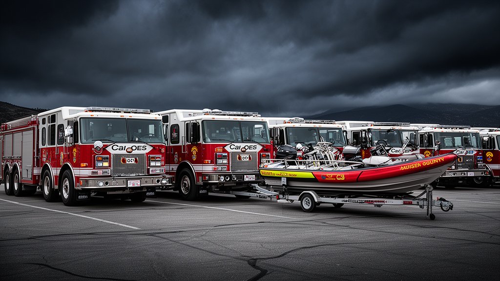
- Evacuation Protocols: Los Angeles County emergency services have activated evacuation warnings for residents living in neighborhoods bordering recent burn scars.
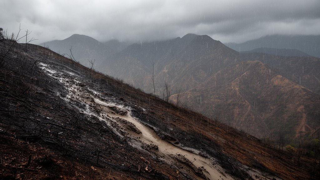
- Soil Instability: Post-fire landscapes, devoid of protective ground cover, act as conduits for rapid runoff, significantly increasing debris flow velocity.
The Anatomy of an Atmospheric River and the Burn-Scar Danger
The current meteorological event is classified as an atmospheric river—a long, narrow region in the atmosphere that transports significant amounts of water vapor from the tropics. When these “rivers in the sky” make landfall in Southern California, the topography of the Transverse Ranges forces the air upward, cooling it and causing torrential precipitation. While Southern California relies on these systems for much of its annual water supply, the immediate impact, especially on burn-scarred terrain, is hazardous.
Why Burn Scars Are Catastrophic Catalysts
When a wildfire burns through a landscape, it destroys the vegetation that acts as a natural buffer, intercepting raindrops and anchoring the soil with complex root systems. Furthermore, intense heat can cause soil hydrophobicity—a phenomenon where a waxy, water-repellent layer forms on the ground. When rain falls on a hydrophobic burn scar, it does not infiltrate the ground. Instead, it sheet-flows over the surface, gathering dirt, ash, boulders, and charred timber. This mixture rapidly gains momentum, transforming from a minor trickle into a destructive debris flow capable of moving at speeds exceeding 20 miles per hour. For residents living at the base of these canyons, the warning time between rainfall and impact can be as little as a few minutes.
Infrastructure and Hydraulic Load
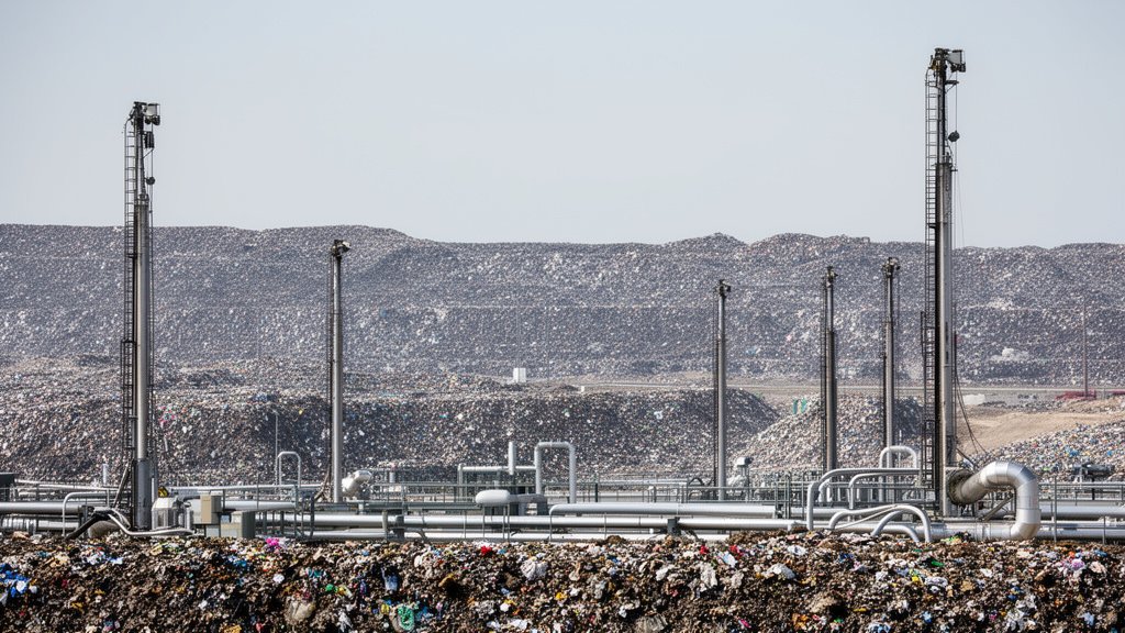
Beyond the immediate threat to homes, municipal infrastructure faces a significant test. Storm drains and channels are designed for specific flow capacities, but a debris flow brings solid matter that can instantaneously clog culverts and spillways. This creates a feedback loop: once a drain is blocked, the water backs up, diverting the flow into residential streets and structures that were never designed for inundation. City engineers are currently prioritizing the clearing of catch basins and storm drains, but the sheer volume of anticipated runoff poses a massive challenge to existing flood control systems.
Scientific Context and Long-Term Trends
Atmospheric rivers are becoming a defining feature of the West Coast climate. Recent studies suggest that as global temperatures rise, these systems are carrying increased water vapor, leading to more frequent “AR-4” and “AR-5” level events—the most intense categories of atmospheric rivers. For Southern California, this creates a new paradigm of environmental risk: the collision of an increasing wildfire frequency due to arid conditions, followed immediately by extreme precipitation events that prey on the damaged landscape. It is a recurring cycle of fire and flood that demands a shift in how municipalities and homeowners approach land-use and insurance.
Navigating the Economic Impact
The financial implications of these dual disasters are profound. Standard homeowners’ insurance policies in California notoriously exclude both earthquake and flood damage. As burn-scar areas become “high-risk” zones, the gap between perceived safety and actual risk grows wider. Residents often find themselves in a precarious position: unable to access affordable flood insurance because they are outside of FEMA-designated flood plains, yet living in areas geographically primed for debris flows. This systemic vulnerability is prompting conversations at the state level regarding subsidized disaster mitigation and improved early-warning systems.
Preparation: A Practical Guide for Residents
Preparedness in this context is not optional—it is a matter of life safety. The NWS advises that residents in or below burn areas should:
1. Sign Up for Alerts: Ensure your phone is registered with local emergency notification systems (like AlertLA).
2. Know Your Exit Strategy: Identify primary and secondary evacuation routes. In a debris flow, you will not have time to pack; have a “go-bag” ready.
3. Monitor Precipitation Rates: Understand that “total rain” is less important than “rain rate.” A storm dumping two inches over 24 hours is manageable; two inches in an hour is catastrophic.
4. Protect Your Perimeter: While you cannot stop a debris flow, ensuring clear drainage around your property can reduce nuisance flooding and minor water damage.
FAQ: People Also Ask
Q: What is the difference between a flood and a debris flow?
A: A standard flood consists primarily of water. A debris flow is a slurry of water, soil, rock, and vegetation. It is significantly more dense, moves much faster, and carries the destructive force of a landslide, making it far more dangerous to structures.
Q: How long after a fire is an area considered ‘at risk’ for flooding?
A: Burn areas are typically most vulnerable for two to five years after a wildfire. This is the time required for vegetation to recover sufficiently to bind the soil and prevent rapid runoff.
Q: Should I wait for an official evacuation order before leaving?
A: Absolutely not. If you see debris, mud, or rocks moving down a hill, or if water is rising rapidly and clogging nearby drains, evacuate immediately. The National Weather Service emphasizes that official orders may lag behind real-time conditions.
Q: Can I use sandbags to stop a debris flow?
A: Sandbags are effective for diverting minor, water-only flooding. They are generally insufficient to stop a massive, high-velocity debris flow, but they can help divert diverted water runoff away from doors and low-level window wells if placed correctly before the storm begins.