Los Angeles County authorities have issued urgent evacuation warnings and advisories as a powerful atmospheric river system bears down on Southern California. The storm, characterized by a deep moisture plume often referred to by meteorologists as a ‘Pineapple Express,’ is expected to bring substantial rainfall, raising the threat of flash flooding and hazardous road conditions across the region. Residents in low-lying areas, canyons, and previous burn scars have been placed on high alert as emergency crews prepare for significant infrastructure stress, with snowfall warnings also active for the higher elevations of the San Gabriel and San Bernardino mountains.
Key Highlights
- Evacuation Warnings: Authorities have issued evacuation warnings for specific canyon communities and areas identified as high-risk for debris flows, particularly in burn-scarred regions from previous wildfire seasons.
- Precipitation Outlook: Meteorological models indicate potential rainfall rates of 0.5 to 1.0 inch per hour during the peak of the storm, significantly increasing the likelihood of urban flooding.
- Mountain Conditions: Heavy snowfall is forecasted above 7,000 feet, with gusty winds expected to create whiteout conditions and hazardous travel through mountain passes.
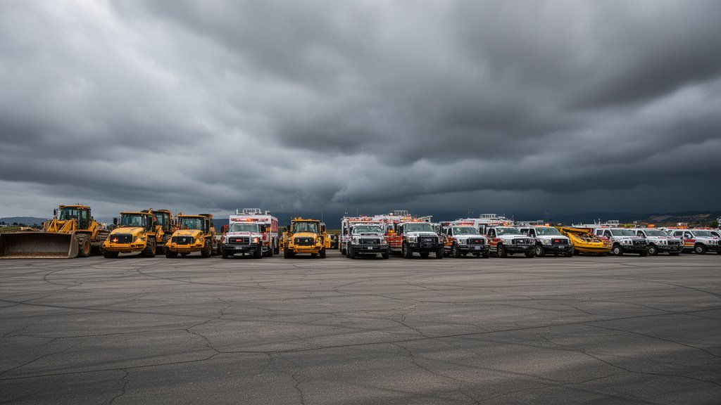
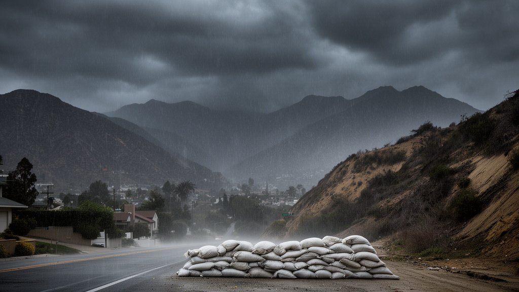
- Infrastructure Readiness: The L.A. County Office of Emergency Management has activated its emergency operations center to coordinate rapid responses, including prepositioning sandbags, heavy equipment, and swift-water rescue teams.
The Atmospheric Threat to Los Angeles
The current meteorological event is a classic example of an atmospheric river—a long, narrow region in the atmosphere that transports most of the water vapor outside of the tropics. When these moisture plumes interact with the complex topography of Southern California, the results can be catastrophic. As the air is forced upward against the San Gabriel and Santa Monica mountains, it cools and condenses, leading to intense orographic precipitation. This effect is not merely a steady rain but often comes in pulses that overwhelm local drainage systems and saturated soil.
Understanding the Pineapple Express
This specific storm pattern draws its moisture directly from the warm waters of the subtropical Pacific, near Hawaii. Because the air mass is warmer than typical winter storms, the ‘snow line’—the altitude at which rain turns to snow—is higher than usual. This creates a dual threat: the lower elevations face severe flooding risks, while the higher elevations may experience rapid snowmelt runoff as the warmer rain hits existing snowpack. This phenomenon, known as ‘rain-on-snow,’ can lead to sudden, high-velocity flooding in mountain canyons that are often already prone to landslides. Meteorologists from the National Weather Service (NWS) have highlighted that the duration of this event is what sets it apart, with the moisture plume stalling over the region rather than moving quickly eastward.
High-Risk Zones: Canyon and Burn Scar Vulnerability
Perhaps the most dangerous aspect of the current situation is the instability of the soil in regions that were previously ravaged by wildfires. When vegetation is destroyed, the ground loses its natural capacity to absorb water and its structural integrity against erosion. During heavy rains, these areas are susceptible to mudslides and debris flows—a deadly slurry of water, rocks, trees, and earth that can travel at high speeds. The L.A. County Office of Emergency Management has targeted specific neighborhoods in the Topanga, Malibu, and Duarte areas for evacuation warnings. Residents are being urged to monitor local alerts closely, as the window between an evacuation warning and an evacuation order can be razor-thin during peak rainfall intensity. The presence of these burn scars means that even moderate rainfall can trigger dangerous soil saturation, making ‘shelter in place’ a potentially fatal decision for those in the direct path of drainage channels.
Emergency Infrastructure and Resource Allocation
In anticipation of the storm’s impact, local agencies have shifted into a ‘pre-positioned’ posture. This is a critical departure from traditional emergency response, which typically waits for damage to occur before dispatching resources. Swift-water rescue teams—highly specialized units trained to navigate rapidly moving, debris-filled currents—have been staged near flood-prone arroyos and rivers like the Los Angeles River. The Los Angeles Department of Water and Power (LADWP) has also mobilized additional repair crews to address the inevitable power outages that accompany high winds and saturated ground. For the average resident, the message from the county is clear: secure loose outdoor items, prepare ‘go-bags’ in case of an evacuation order, and avoid driving through standing water. The ‘Turn Around, Don’t Drown’ initiative is being heavily promoted, as vehicles are frequently swept away in what appear to be shallow, crossable floods.
The Growing Frequency of Southern California Megastorms
This storm is not an isolated anomaly but part of a broader shift in Western climate patterns. While Southern California has historically experienced a ‘boom and bust’ water cycle, data from the California Department of Water Resources suggests that the intervals between these massive atmospheric rivers are compressing. Scientists warn that as global temperatures rise, the atmosphere’s capacity to hold water vapor increases, leading to more intense storm events when they do occur. This presents a complex challenge for city planners and civil engineers. Los Angeles, a region designed to funnel water away as quickly as possible to prevent flooding, is currently undergoing a paradigm shift toward ‘water capture.’ While this is beneficial for long-term drought resilience, it places immense pressure on infrastructure during extreme events, as the systems are forced to balance flood mitigation with the desire to retain every drop of precious precipitation for the region’s water supply.
FAQ: People Also Ask
Q: How do I know if I am in a high-risk zone for the current L.A. storm?
A: L.A. County provides an interactive ‘Ready, Set, Go’ map on their official emergency management website. This tool allows you to input your address to see if you fall within an active evacuation warning zone or a debris-flow danger area.
Q: What is the difference between an evacuation warning and an evacuation order?
A: An evacuation warning means there is a potential threat to life and property; you should prepare to leave and gather essential items. An evacuation order is mandatory; it indicates that the threat is imminent, and you should evacuate immediately for your safety.
Q: How long is this storm expected to last?
A: Current forecasts from the National Weather Service suggest the core of the atmospheric river will impact the region over a 48-to-72-hour period. However, the tail end of the system may continue to bring scattered showers and lingering flood risks for several days afterward.
Q: Can I drive if the roads are flooded?
A: Absolutely not. It only takes six inches of moving water to knock an adult off their feet, and 12 inches can carry away a small car. If you encounter flooded roads, turn around immediately. The road surface beneath the water may have collapsed, posing an invisible, life-threatening hazard.