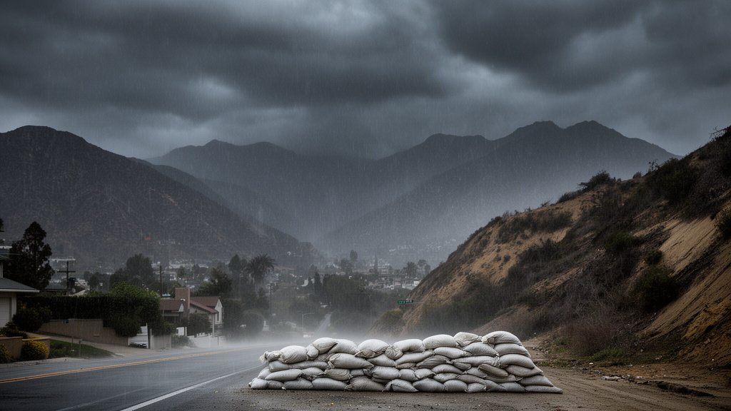
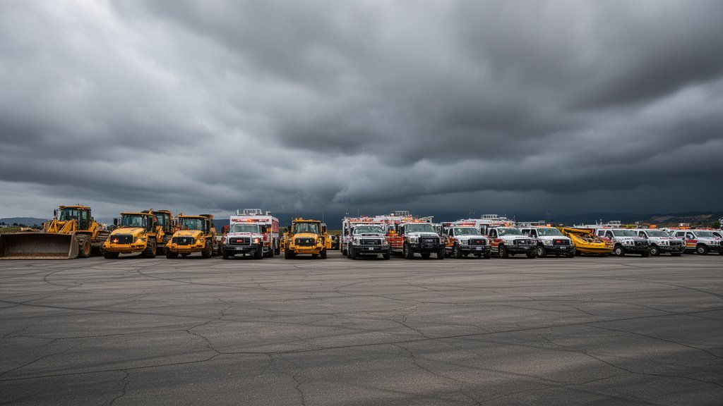
As a series of potent storm systems sweeps across the Golden State, the California Governor’s Office of Emergency Services (Cal OES) has officially activated its state-level emergency response protocols. This proactive measure, scheduled to remain in effect through November 20, signals a shift in California’s disaster management philosophy—prioritizing the staging of assets in high-risk zones before the first raindrops fall. By prepositioning critical resources, including swift-water rescue teams, heavy earth-moving machinery, and specialized emergency personnel, Cal OES aims to shave life-saving minutes off potential response times in vulnerable regions like Los Angeles County.
Key Highlights
- Proactive Staging: Cal OES has strategically distributed emergency resources, including helicopters, engines, and heavy machinery, to specific high-risk jurisdictions in anticipation of storm-related impacts.
- Operational Timeline: The current prepositioning initiative is mandated to continue through November 20, covering the projected window of peak storm intensity.
- Multi-Agency Integration: The effort relies on seamless coordination between state agencies, local fire departments, and the National Weather Service (NWS) to identify specific geographic vulnerabilities.
- Risk Mitigation: Assets are focused on high-threat areas susceptible to urban flooding, landslides, and debris flows, a common secondary impact of rapid-onset rainfall in California.
The Strategic Defense: Mobilizing California’s Emergency Infrastructure
The decision by Cal OES to preposition assets is not merely a logistical maneuver but a fundamental recalibration of emergency management. In years past, disaster response was largely reactive—units were dispatched only after a distress call was received or a localized catastrophe occurred. Today, with the forecasting precision of the National Weather Service, Cal OES has adopted a preemptive stance. By placing Urban Search and Rescue (USAR) teams and heavy equipment in proximity to expected strike zones, the state eliminates the delay of transit during the critical first hours of an event.
The Logistics of Prepositioning
At the heart of this operation is the allocation of specialized fleets. Cal OES doesn’t just move personnel; they move the capability to clear roadways blocked by mudslides and the ability to extract residents from rising floodwaters. For this current storm cycle, the focus is on heavy machinery—bulldozers and dump trucks provided by Caltrans—to ensure critical artery roads remain open. If a road is cleared immediately after a slide, medical and utility crews can reach critical infrastructure, preventing a localized incident from cascading into a larger community crisis.
This approach is heavily data-driven. Meteorologists provide granular details on rainfall intensity and soil saturation levels. Cal OES then cross-references this with geographic risk maps of historical fire scars and known flood zones. Los Angeles County, with its complex geography of canyons and urban density, acts as a primary staging hub for these assets, serving as a rapid-deployment point for the greater Southern California area.
The Evolution of Climate Resilience
The necessity of this rapid response is increasingly linked to changing weather patterns. As California faces more concentrated “atmospheric river” events, the window to prepare is shrinking. When rainfall amounts that would historically fall over a week are compressed into 24 or 48 hours, the strain on civil infrastructure is exponential. This is where the secondary angles of this story become clear:
1. The Cost-Benefit of Preparedness: While the daily cost of keeping specialized rescue teams on “ready alert” is significant, it is statistically dwarfed by the economic losses associated with protracted infrastructure damage. Proactive staging protects the economic engine of local municipalities, allowing businesses and services to remain operational despite the weather.
2. The Urban-Wildland Interface Challenge: A specific secondary concern is the behavior of recent wildfire burn scars. Post-fire landscapes, lacking the root systems of vegetation to hold soil in place, are effectively industrial-grade mudslide factories. Cal OES resource allocation is specifically tuned to these interface zones, where the danger is not just water, but the debris flow that follows.
3. Public-Private Cooperation: This initiative also highlights the unspoken partnership between state emergency services and private contractors. Heavy machinery is often sourced via pre-arranged, pre-paid contracts that trigger the moment Cal OES declares a mobilization. This ensures that the state isn’t fighting for private resources on the open market during a crisis, but has them already secured and under command.
Looking Toward November 20 and Beyond
As we track the storms through November 20, the success of this strategy will be measured in the efficiency of clearing blockages and the lack of fatalities. Cal OES continues to urge residents to remain informed via local alert systems. While the state is ready, the ultimate variable remains the public’s ability to recognize local warnings and evacuate when directed. The partnership between state-level resource staging and individual household preparedness is what forms the true shield against these forecasted storms.
FAQ: People Also Ask
Q: Why is Cal OES prepositioning resources now?
A: To reduce response times. By moving equipment and teams closer to predicted high-risk zones, agencies can respond to flooding or road blockages immediately rather than waiting for traffic or storm conditions to clear before deploying.
Q: What specific types of resources are being staged?
A: The assets include swift-water rescue teams, Urban Search and Rescue (USAR) task forces, heavy earth-moving machinery (to clear mudslides and debris), and emergency communication vehicles.
Q: How does Cal OES choose where to preposition these resources?
A: Cal OES coordinates with the National Weather Service to overlay weather forecast models—such as rainfall intensity and wind speed—with geographic vulnerability maps, including recent wildfire burn scars, low-lying flood plains, and historically unstable slopes.
Q: Will these resources be available throughout the entire state?
A: While assets are staged in prioritized high-risk regions like Los Angeles County, Cal OES maintains a statewide mutual aid system. Resources are mobile and can be redeployed as the storm track changes or if conditions deteriorate in other counties.