The relentless high-pressure system that has gripped Southern California in a vice of triple-digit temperatures is finally losing its structural integrity. As of this evening, the National Weather Service (NWS) has indicated that excessive heat warnings for the greater Los Angeles and Orange County regions are set to expire, ushering in a dramatic atmospheric shift. The region, which has been under siege by sustained, dangerous heat levels for the past several days, is now bracing for a cooling trend. More significantly, the transition is expected to introduce a variable rarely seen during heat-dome events: potential precipitation, driven by the moisture plume associated with Hurricane Rachel.
The Collapse of the Heat Dome
For the past 96 hours, a robust ridge of high pressure effectively acted as a “heat dome,” trapping warm, stagnant air over the Los Angeles Basin and Orange County. This weather pattern prevented the typical cooling influence of the Pacific marine layer from penetrating inland, resulting in record-challenging temperatures that strained power grids, compromised local air quality, and posed significant public health risks to vulnerable populations.
Meteorologists are now observing the ridge flattening as a trough of low pressure pushes inland from the Pacific Northwest. This mechanical shift in the atmosphere is the primary driver for the anticipated relief. By tomorrow morning, residents should expect a noticeable drop in humidity and ambient temperature, a welcome change for a region that has been running air conditioning systems at maximum capacity for the better part of the week. This is not merely a transient fluctuation; it represents a fundamental change in the regional airflow, pulling cooler marine air deep into the valleys and inland suburban corridors that bore the brunt of the heat wave.
Hurricane Rachel’s Atmospheric Fingerprint
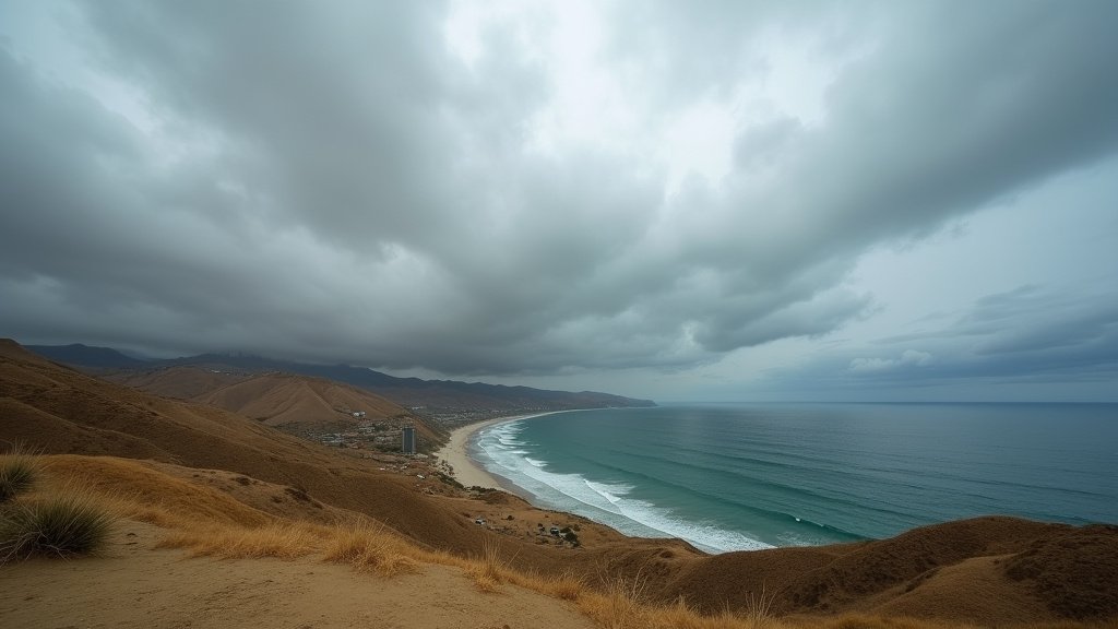
While the weakening heat dome is a regional phenomenon, the impending weekend forecast introduces an external variable: the remnants of Hurricane Rachel. Even at a significant distance from the California coastline, the hurricane is acting as a catalyst for a surge in subtropical moisture. Atmospheric rivers and moisture plumes are complex systems, and in this instance, the hurricane is channeling a corridor of high precipitable water vapor directly toward the Southern California coastline.
This interaction is critical. Usually, late-season heat waves in Southern California are terminated by a simple shift in wind direction (the “Santa Ana” patterns reversing to “onshore flow”). However, the inclusion of tropical moisture changes the dynamic. It increases the cloud cover density, which will naturally inhibit solar heating, and introduces the potential for convective shower activity. Meteorologists are monitoring the situation closely to determine if this moisture will manifest as widespread, soaking rain or scattered, high-humidity cloud bursts. The outcome will depend on the precise tracking of the mid-level trough interacting with the tropical moisture feed.
Impacts on Infrastructure and Public Safety
This rapid transition from extreme heat to potential precipitation presents a unique set of challenges for local infrastructure and public safety, often overlooked by the general public.
First, road safety is a significant concern. After days of extreme heat, roadways—particularly asphalt surfaces—develop a slick layer of oil and residue that hasn’t been washed away by rain in months. When the first drops of precipitation hit these “baked” surfaces, they turn into near-frictionless skating rinks. Caltrans and local traffic agencies have advised drivers to exercise extreme caution if rain begins to fall, as the danger of hydroplaning increases exponentially during these “first rain” events following a long dry spell.
Second, the power grid in Southern California is moving from a heat-stress state to a potential storm-preparedness state. Southern California Edison and the Los Angeles Department of Water and Power (LADWP) have been managing record loads due to sustained AC usage. A shift to stormier conditions requires grid operators to pivot from managing peak load capacity to monitoring for potential localized outages caused by lightning strikes or high-wind gusts associated with the incoming tropical moisture. Residents are encouraged to report any sparks or downed power lines immediately, as the combination of moisture and faulty electrical equipment can pose fire hazards.
Historical Context: When Heat Waves Meet Tropical Moisture
Historically, the convergence of a dissipating heat wave with subtropical moisture is a scenario that produces the most unpredictable weather in Southern California. In meteorological terms, this is often described as a “baroclinic instability,” where the cooling, stable air of the trough meets the warm, unstable air of the tropical plume. While residents are rightfully relieved by the prospect of cooler temperatures, the erratic nature of such storms can lead to rapid-onset flooding in areas with dry, hydrophobic soil. This condition, often exacerbated by recent wildfire activity, means that even moderate rainfall can result in mudslides or localized drainage failures.
It is essential for homeowners in low-lying areas or regions adjacent to burn scars to monitor local alerts. While the headline is “cooling and relief,” the sub-text is “preparedness.” The transition to a more temperate climate over the weekend is undoubtedly beneficial, but the atmospheric volatility that triggers such a change can be intense. As the region moves out of the excessive heat cycle, the focus shifts from hydration and cooling centers to drainage clearance and traffic safety. This is a reminder of the delicate balance that defines Southern California’s unique, and often volatile, climate landscape.