A 3.8-magnitude earthquake rattled the community of Piru in Ventura County at 8:00 p.m. on September 29, 2026, serving as a stark reminder of the region’s seismic volatility as tremors were felt throughout parts of Ventura, Santa Barbara, and Los Angeles counties. While the United States Geological Survey (USGS) classified the event as minor with no damage reported, the wide-ranging perception of the shaking underscored the high level of seismic awareness among Southern Californians.
- Event Details: Magnitude 3.8 earthquake centered near Piru, California.
- Time and Date: September 29, 2026, at approximately 8:00 p.m.
- Impact Area: Tremors were widely felt across Ventura, Santa Barbara, and Los Angeles counties.
- Status: No injuries or infrastructure damage reported by local authorities.
The Geology of the Piru Fault Zone and Regional Implications
The 3.8-magnitude event in Piru offers an opportunity to examine the complex tectonic mechanics underlying the Transverse Ranges. Unlike the more famous San Andreas Fault, which accommodates horizontal motion, the faults surrounding the Ventura Basin are often characterized by “thrust” mechanisms—the result of the intense compressional forces created by the bend in the San Andreas Fault system.
The Transverse Ranges and Localized Seismicity
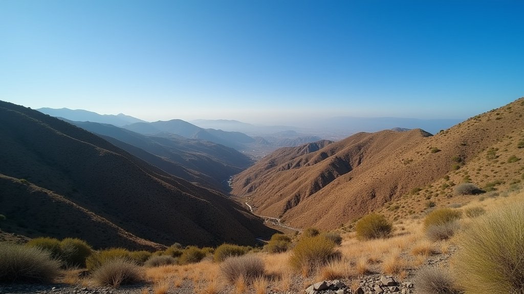
Geologically, the Ventura County region is part of the Transverse Ranges, a unique structural element in California that trends east-west, contrasting with the north-south orientation of most other California mountain ranges. The Piru area sits within a region of significant tectonic squeezing. When faults in this basin slip, even at a lower magnitude like 3.8, the energy release can be sharper and more perceptible to residents than a deeper or more distant quake of similar size.
Seismologists at the Southern California Seismic Network (SCSN) often monitor this area closely because the complex, interlocking fault systems here have the capacity to generate significant shaking. While a 3.8 is generally considered non-damaging, it serves as a necessary “pressure release valve” within the crust. Experts emphasize that while these events do not technically “prevent” larger earthquakes, they remind residents that the subterranean processes of plate tectonics are continuous and relentless.
Analyzing the “Felt” Reports: Citizen Science in Action
Following the 8:00 p.m. event, the USGS “Did You Feel It?” (DYFI) system saw a rapid influx of reports. This citizen-science tool is invaluable for researchers. By collecting real-time feedback from people in Santa Barbara, Los Angeles, and Ventura, geologists can create “shakemaps” that visualize the intensity of the event across different types of soil.
In this instance, reports suggested that while the quake was widespread, it remained in the “light” intensity range. The reporting data indicated that high-rise residents in Los Angeles may have felt a sway, while those closer to the epicenter in Piru likely experienced a sudden, sharp jolt. This distinction is critical for emergency management agencies, which use this data to determine where the strongest seismic waves propagated.
The Role of Technology: ShakeAlert and MyShake
For many residents, the primary notification of the earthquake was not the shaking itself, but the alert on their smartphones. Automated systems like ShakeAlert, integrated into the MyShake app and native mobile OS earthquake warnings, are designed to give users a crucial “heads up”—sometimes seconds before the shaking arrives.
In the context of a 3.8-magnitude event, these alerts are vital for conditioning the public response. Although this quake caused no damage, the protocol remains the same: Drop, Cover, and Hold On. The integration of high-speed data from the Southern California Seismic Network into these consumer-facing applications represents a massive leap forward in disaster preparedness. These systems rely on the difference in speed between P-waves (the first, less damaging waves) and S-waves (the stronger, damaging waves) to send warnings to devices before the destructive force arrives.
Preparedness in a Seismically Active State
California remains the most seismically prepared region in the United States, yet events like this remind residents that complacency is a luxury they cannot afford. Emergency managers suggest that a 3.8-magnitude event is the perfect time to audit one’s emergency kits.
Standard earthquake preparedness involves ensuring that heavy furniture is anchored to wall studs, gas shut-off valves are accessible and functional, and a “go-bag” is stocked with at least three days of food, water, and essential medical supplies. The lack of damage in this 2026 event should not lead to a false sense of security; rather, it should be viewed as a drill or a reminder to maintain the readiness that is required for the much larger events that geologists insist are inevitable in the long-term history of the San Andreas Fault System.
FAQ: People Also Ask
Q: Why was a 3.8 earthquake felt so far away in Los Angeles and Santa Barbara?
A: The way seismic waves travel depends on the local geology. In Southern California, the presence of sedimentary basins can trap and amplify seismic energy, allowing even minor earthquakes to be felt at greater distances than they would be in regions with more solid bedrock.
Q: Does a 3.8 earthquake make the “Big One” more or less likely?
A: Scientifically, small earthquakes like this one have negligible effects on the massive stresses stored along major faults like the San Andreas. It is neither a precursor to a larger quake nor a guarantee that stress has been “relieved.”
Q: What should I do when I receive an earthquake alert on my phone?
A: Immediate action is required. Do not wait to see if the shaking starts. Drop to the ground, take cover under a sturdy table or desk, and hold on until the shaking stops. If you are outdoors, move to an open area away from buildings, power lines, and trees.
Q: How do geologists determine the magnitude of an event like the Piru quake?
A: Seismologists use a network of high-precision sensors (seismometers) located throughout the region. These devices measure the amplitude and frequency of the seismic waves generated by the fault slip, which are then processed by the USGS to calculate the Moment Magnitude (Mw).