The National Weather Service has issued an urgent Red Flag Warning across Los Angeles and Ventura Counties, signaling a period of high fire danger as powerful Santa Ana winds converge with dangerously low humidity levels. This critical meteorological event, which began this week, remains effective through Saturday, October 17. Residents are urged to exercise extreme caution as mountainous regions and valleys brace for wind gusts expected to reach 50-70 mph, creating conditions where fire ignition and rapid spread are highly probable.
Key Highlights
- Warning Duration: Red Flag Warnings are in effect through Saturday, October 17, across Los Angeles and Ventura Counties.
- Wind Intensity: Meteorologists are tracking wind gusts between 50 and 70 mph, particularly in mountain passes and canyons.
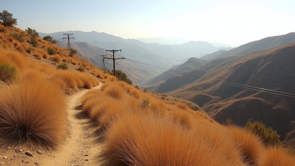
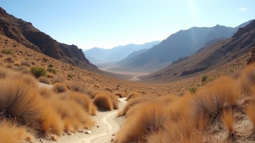
- Fire Environment: Low humidity levels have desiccated vegetation, turning the landscape into critical fuel for potential wildfires.
- Utility Alert: Local power companies are monitoring infrastructure for potential Public Safety Power Shutoffs (PSPS) to prevent accidental fire ignitions.
The Meteorological Mechanics of High-Stakes Fire Danger
The current Red Flag Warning is the result of a classic Santa Ana wind event, a seasonal phenomenon driven by surface pressure gradients between the high-pressure systems in the Great Basin and the cooler air along the Southern California coastline. As high pressure builds over Nevada and Utah, air is pushed westward, funneling through the narrow mountain passes of Southern California.
Pressure Gradients and Wind Dynamics
When this air mass compresses as it descends through the canyons—such as the Santa Susana Mountains or the Santa Monica Mountains—it undergoes adiabatic heating, causing the temperature to rise while simultaneously stripping the air of its moisture. This results in the hallmark of Santa Ana conditions: hot, dry, and incredibly fast-moving winds.
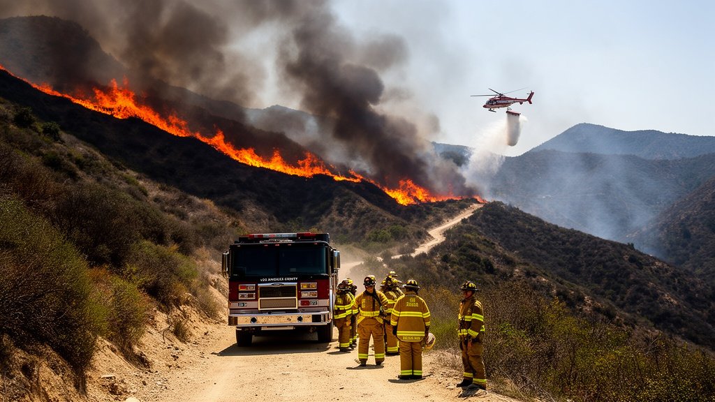
For residents in the Los Angeles and Ventura areas, this creates a ‘perfect storm’ scenario. When wind speeds consistently hit the 50-70 mph range, they possess the kinetic energy to down power lines, carry burning embers over firebreaks, and cause structural damage. Fire suppression teams from the Los Angeles County Fire Department and Cal Fire operate under a heightened state of alert during these windows, as standard containment strategies often fail when wind-driven embers can travel miles ahead of the main flame front.
The Critical Importance of Fuel Moisture
While the winds are the immediate threat, the underlying issue is fuel moisture content. After a prolonged period without significant precipitation, the chaparral and scrub brush that dominate the regional landscape are currently suffering from extremely low moisture levels. Dead or dying vegetation acts as volatile fuel. When combined with the desiccating effect of the Santa Ana winds, the ignition temperature for wildfires drops significantly. A single spark from a roadside hazard, a lawn mower, or a utility line can escalate into a major conflagration within minutes, moving across the landscape faster than traditional ground crews can reposition.
Infrastructure and Utility Preparedness
The Southern California utility grid faces a severe stress test during these Red Flag events. Southern California Edison (SCE) and other local providers utilize advanced meteorological modeling to identify circuits that may be vulnerable to the high-velocity winds. The decision to initiate a Public Safety Power Shutoff is a complex, data-driven process designed to prevent catastrophic grid-sparked fires.
Hardening the Grid
In recent years, utilities have accelerated ‘fire hardening’ programs, which include the installation of insulated covered conductors and the removal of vegetation near power lines. However, under the extreme wind speeds currently forecast, the risk of wind-blown debris—such as palm fronds or tree limbs—contacting energized lines remains a significant concern. Infrastructure resilience is being tested, and the public should prepare for the possibility of localized outages, even in areas not currently under active fire threat, as preventative measures are deployed.
Emergency Preparedness: Ready, Set, Go
Given the severity of the forecast, public safety officials are emphasizing the ‘Ready, Set, Go’ protocol. This is not merely a suggestion; it is the standard operating procedure for residents living in the Wildland-Urban Interface (WUI).
Step 1: Ready
Preparation begins before the wind arrives. This includes creating defensible space around the home by clearing brush, moving woodpiles away from structures, and ensuring that gutters are free of dry leaves. Families should have an emergency ‘Go Bag’ packed with essential documents, medications, and enough water and non-perishable food to sustain them for 72 hours.
Step 2: Set
As the Red Flag Warning progresses, residents should remain in a state of high awareness. This means monitoring local news outlets, keeping smartphones charged, and ensuring vehicles are parked facing the street for a quick exit. If a fire starts in the vicinity, being ‘Set’ means being ready to leave at a moment’s notice.
Step 3: Go
When evacuation orders are issued by the Los Angeles County Fire Department or local law enforcement, they must be followed immediately. The psychological tendency to ‘wait and see’ has historically proven fatal in California wildfires. Fire behavior in 60 mph winds is notoriously unpredictable; waiting for smoke to be visible before evacuating can result in becoming trapped by rapid-fire progression on evacuation routes.
Historical Context and Future Climate Trends
The occurrence of Santa Ana winds in mid-October aligns with the peak of the historical wildfire season in Southern California. Historically, October is a month where the region is particularly vulnerable, as the landscape is at its driest point following the long, rainless summer.
However, climate scientists are observing that these wind events are shifting in terms of frequency and intensity. While Santa Anas are a natural part of the local ecology, the extended duration of drought conditions and higher baseline temperatures are intensifying the impact of each event. The combination of erratic weather patterns and the expansion of residential development into high-fire-risk zones creates a new reality where vigilance is a permanent necessity rather than a seasonal inconvenience. This current Red Flag Warning serves as a reminder of the delicate balance required to live within the Southern California ecosystem, necessitating robust cooperation between municipal authorities, utility providers, and the residents themselves.
FAQ: People Also Ask
Q: What exactly defines a ‘Red Flag Warning’ versus a ‘Fire Weather Watch’?
A: A Fire Weather Watch indicates that conditions could be favorable for wildfire development in the coming 24-48 hours. A Red Flag Warning means those conditions are currently occurring or are imminent, signaling that active fire weather is happening now.
Q: Why are winds in the mountains always higher than in the city?
A: The mountain ranges act as barriers and funnels. As the air is forced through canyon passes, it accelerates (the Venturi effect), leading to significantly higher wind speeds in canyons and mountain foothills compared to the flatter, open terrain of the coastal basins.
Q: Should I keep my windows closed during a Red Flag Warning?
A: Yes. Keeping windows and doors closed prevents burning embers, which can be carried for miles by high winds, from entering your home. It also prevents the influx of dry, hot air and smoke if a fire starts nearby.
Q: Where can I get real-time evacuation information?
A: Monitor the official Twitter or X accounts of the Los Angeles County Fire Department, Ventura County Fire Department, and Cal Fire. Additionally, local news radio and the official county emergency alert system (such as AlertLA) are primary sources for verified evacuation orders.