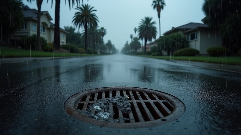

The National Weather Service has issued a flood watch for Southern California as a moderate storm system is set to impact the region between Wednesday, October 21, and Thursday, October 22. Residents are advised to prepare for significant atmospheric changes, including heavy rainfall ranging from 0.5 to 1.5 inches, scattered thunderstorms, and potentially dangerous coastal conditions. This weather event marks a significant shift in the typical autumn climate, necessitating caution for both commuters and beachgoers alike.
The Meteorological Outlook: A Moderate Storm System
The approaching storm system is characterized by a plume of moisture moving across the Southern California coastline. Meteorologists at the National Weather Service (NWS) have identified this as a moderate but potentially impactful event. While the total precipitation accumulation is forecasted between 0.5 and 1.5 inches, the intensity of this rain over a short duration poses the primary threat. Localized flash flooding, particularly in areas with poor drainage or recent burn scars, remains a top concern for emergency management agencies. The system is also expected to produce gusty winds, which could impact travel safety on major freeways and potentially cause minor damage to outdoor infrastructure.
Coastal Hazards and Rip Current Risks
Beyond the precipitation, the storm is exerting significant force on the coastline. Hazardous beach conditions are a major focal point for authorities. Elevated surf and powerful rip currents are anticipated as the storm churns the ocean surface. Local lifeguards and coastal agencies are issuing strict warnings to swimmers and surfers to exercise extreme caution or avoid the water entirely during this window. Rip currents, which can be deceptive and life-threatening even to experienced swimmers, are expected to be stronger than usual. The combination of high tide cycles and the storm surge increases the danger of beach erosion and flooding in low-lying coastal areas.
Regional Infrastructure and Transportation Impacts
As the storm moves inland, urban infrastructure faces the typical challenges associated with significant SoCal rainfall. Increased traffic congestion is a near-certainty as drivers navigate wet roads, which are often slicker than normal due to the accumulation of oils and debris after long dry spells. Local municipalities are urging residents to clear storm drains of debris to minimize the risk of street-level flooding. Public transportation systems may experience delays, and commuters are encouraged to allow extra travel time. The potential for thunderstorms adds an element of unpredictability, with the possibility of localized lightning strikes and sudden visibility drops during peak rainfall periods.
Historical Context of Southern California Rain Events
Southern California’s climate is defined by its Mediterranean patterns, characterized by dry summers and intermittent winter rainfall. However, autumn storms like this one provide a critical early-season replenishment for the region’s water tables. Historically, these October events can act as a bellwether for the upcoming winter rainy season. While a single storm system rarely solves long-term water scarcity issues, these precipitation events are vital for maintaining the health of local ecosystems and reducing fire risk in vulnerable canyons. The timing of this storm is particularly interesting, occurring just as the region begins its transition into the cooler, wetter months of the year.
Economic and Community Preparedness
The economic impact of such storm systems extends beyond simple inconvenience. For the local agricultural sector, managed rainfall can be a blessing, yet excessive, high-intensity storms can lead to crop damage and soil erosion. For businesses, the loss of foot traffic during inclement weather creates a short-term dip in retail activity. Furthermore, community preparedness remains the most effective tool against such weather hazards. Emergency officials emphasize that residents should secure outdoor furniture, check home drainage systems, and remain updated via official NWS alerts. Being prepared for power outages—even if unlikely—remains a standard recommendation during any significant weather disturbance in the region.
Navigating Future Weather Extremes
As Southern California continues to adapt to an evolving climate, the ability to respond to these moderate storm systems is developing. Modern meteorological modeling, such as the tools utilized by the NOAA, allows for more precise warnings and localized forecasts. This, in turn, helps citizens make informed decisions, whether that means postponing a beach trip or choosing to work from home to avoid flooded roadways. The partnership between meteorological agencies and public safety entities is the backbone of regional resilience, ensuring that while the weather may be unpredictable, the public response is organized and safe. As this storm passes, the focus will turn toward assessing the rainfall totals and the status of the local landscape, preparing the region for whatever comes next in the upcoming winter season.