The Southland is currently undergoing a dramatic meteorological pivot as a robust autumn storm system makes landfall, bringing an abrupt end to the recent streak of extreme heat across Los Angeles County. Starting Wednesday, October 21, the region is facing a significant precipitation event that has triggered widespread concern from meteorologists and emergency officials alike. The transition from unseasonably warm temperatures to a soaking, potentially dangerous storm front has left local infrastructure and residents vulnerable, with officials warning that the rapid change in conditions could lead to flash flooding, debris flows in sensitive areas, and hazardous travel scenarios.
The Atmospheric Pivot: From Heatwave to Deluge
The current storm system represents a classic, albeit intense, seasonal transition. For days leading up to Wednesday, the region had been gripped by a persistent high-pressure ridge, resulting in temperatures well above seasonal averages. However, the arrival of an upper-level trough—a massive scoop of cold, moist air from the Pacific—has effectively dismantled this heat dome. As this cold air mass interacts with the residual warmth in the lower atmosphere, the potential for instability has increased significantly.
Forecasters at the National Weather Service (NWS) have noted that this storm is particularly potent because of its moisture profile. Unlike more typical “inside sliders” that bring wind but little rain, this system is pulling from a deeper subtropical moisture tap. This alignment creates the perfect conditions for isolated thunderstorms to develop within the broader rain bands. While widespread steady rain is expected, it is these convective cells—localized pockets of intense, rapid rainfall—that present the most immediate threat to urban areas. Residents should be prepared for precipitation rates that could briefly exceed 0.5 to 1 inch per hour in some localized “hot spots,” which is sufficient to overwhelm storm drains and trigger street-level flooding in low-lying sections of the Los Angeles Basin.
The Critical Danger: Burn Scars and Infrastructure
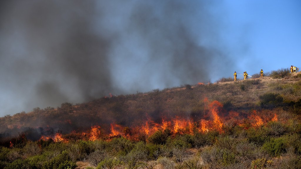
One of the most concerning aspects of this weather event involves the post-fire landscape. Los Angeles County contains numerous burn scars—areas denuded of vegetation by previous wildfires, such as the Bridge and Bobcat fires. These areas are drastically more susceptible to debris flows, as the soil lacks the root structures necessary to hold the earth in place during heavy rainfall. Even moderate rainfall totals in these regions can result in significant sludge and rock movement, which can quickly turn into dangerous mudflows.
Local emergency management agencies, including the Los Angeles County Office of Emergency Management, have been coordinating closely with Caltrans to monitor these specific zones. While the current saturation levels of the ground remain relatively low due to the preceding heat, the intensity of the incoming rain bands could bypass the absorption capacity of the soil, leading to rapid runoff. Motorists are urged to avoid canyons and mountain roads where the risk of rockfall and debris accumulation is highest. The infrastructure in these areas is particularly susceptible to being overwhelmed by even minor precipitation, making travel in the foothills perilous for the duration of the storm.
Urban Flooding and Emergency Preparedness
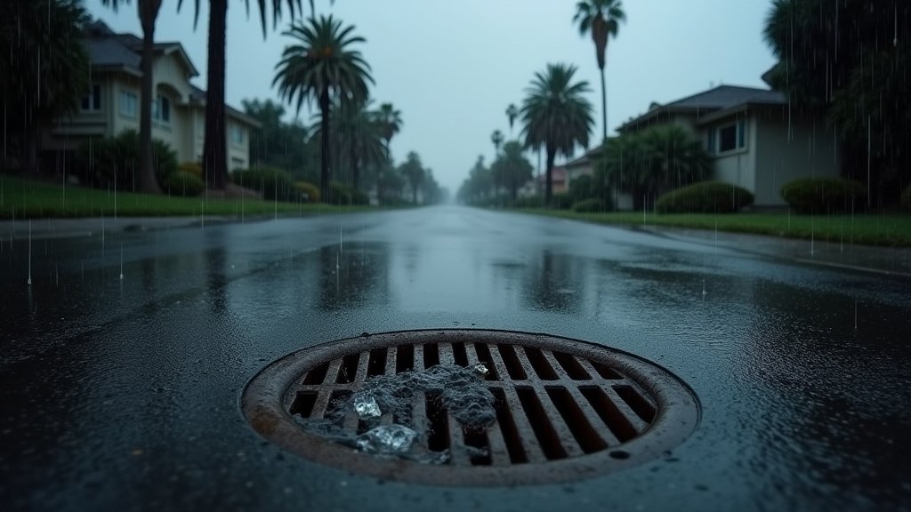
The urban environment presents its own set of challenges during this event. Los Angeles, which is largely comprised of non-porous surfaces like asphalt and concrete, relies heavily on a complex network of storm drains and channels to manage runoff. During early-season storms—often referred to as “first flush” events—this system can become clogged with dry-season debris that has accumulated over the hot summer months. When the first heavy rains hit, this trash is flushed into the system, potentially causing localized blockages that lead to street flooding even if the rainfall totals remain within manageable parameters.
Furthermore, the unexpected nature of the storm, arriving on a weekday, is complicating the traffic situation. The combination of slick roads, reduced visibility, and the natural anxiety of driving in “storm mode”—which is a relative rarity in the region—often leads to a spike in traffic incidents. Public safety officials are advising commuters to double their following distance, keep headlights on, and avoid flooded intersections entirely. It is a common misconception that passenger vehicles can navigate deep water; however, modern sensors in newer vehicles are incredibly sensitive to moisture, and stalling in standing water can lead to costly engine damage or, in extreme cases, vehicle entrapment.
Looking Ahead: Meteorological Implications
This storm serves as a stark reminder of the volatility of the Southern California climate. While the immediate focus is on the next 24 to 48 hours, the broader implications of this storm involve the recharge of local watersheds and the potential for a more active winter season. If this storm is indicative of the synoptic patterns to come, the region may be looking at a winter that deviates significantly from the dry, drought-stricken years of the recent past. The moisture delivery is consistent with broader oceanic trends, suggesting that residents should review their flood insurance policies and disaster supply kits. As the system moves through, it will leave behind cooler, more seasonal temperatures, marking a definitive end to the “summer” conditions that have persisted well into October. The National Weather Service expects the bulk of the heavy activity to taper off by late Thursday, but the saturated ground will remain a factor, necessitating vigilance well into the weekend.