As of Monday, April 13, 2026, the erratic winter-like weather pattern that gripped Southern California over the holiday weekend is officially dissipating. National Weather Service (NWS) Los Angeles and Oxnard have allowed the final winter weather advisories for the region’s higher elevations to expire, signaling a return to calmer, more seasonal conditions. While the storm system provided a brisk, cold reminder of winter, the region is now transitioning out of the threat of icing and snow-related travel disruptions.
Key Highlights
- Advisories Lifted: Winter weather advisories for the San Gabriel Mountains, Ventura County, and Santa Barbara County mountains have expired as of Monday morning.
- Travel Recovery: Commuters traversing the I-5 corridor through the Grapevine are seeing improved conditions, though authorities continue to warn of residual ice from overnight refreezing.
- Shift to Spring: The region is shifting away from the unsettled, low-pressure system, with forecasters predicting a steady rise in temperatures throughout the week.
- Mountain Safety: High-elevation areas received a fresh dusting of snow, maintaining significant fire-prevention moisture, but also creating temporary hazards for late-season hikers and travelers.
The Aftermath of the Late-Season Freeze
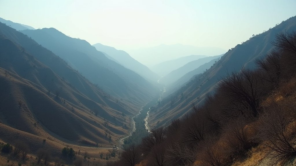
The weekend’s storm, while not the catastrophic event some headlines initially feared, served as a potent example of late-season atmospheric variability in Southern California. The system, which brought plummeting snow levels down to the 4,500-foot mark, caused brief but significant headaches for travelers navigating the mountain passes that act as critical arteries for the state’s commerce and movement.
Transitioning to Clearer Skies
For residents in the greater Los Angeles basin and inland valleys, the primary impact of this system was a dramatic shift in temperatures. After a period of unseasonably warm weather earlier in the month, the drop in mercury was sharp. Meteorologists monitoring the system confirmed that the moisture-rich air mass acted as an effective “spring reset,” cooling down areas that had been flirting with elevated fire danger.
As of this afternoon, the satellite imagery over Southern California indicates that the core of the low-pressure system has moved eastward. The marine layer is expected to reassert itself along the coast, a hallmark of the region’s transition back to its typical spring rhythm. While coastal areas may remain cool and breezy through the early part of the week, the dramatic threat of precipitation is now firmly in the rearview mirror.
Travel and Infrastructure Impacts
Perhaps the most heavily impacted infrastructure during this event was the I-5 Grapevine. As snow levels dropped, Caltrans crews were quick to implement standard protocols for high-elevation travel. The primary concern for motorists on Monday morning was not fresh accumulation, but the hazardous nature of ‘black ice’ formed overnight.
Transit authorities are emphasizing that while the active winter storm warnings have been dropped, the mountain environment remains dynamic. Drivers planning trips through the Cajon Pass or the Grapevine are encouraged to check the Caltrans QuickMap before departure. The residual moisture means that nighttime temperatures at higher elevations will continue to hover near the freezing mark for the next 48 hours, keeping the risk of slick road surfaces elevated even after the storm has technically exited the region.
Ecological Significance
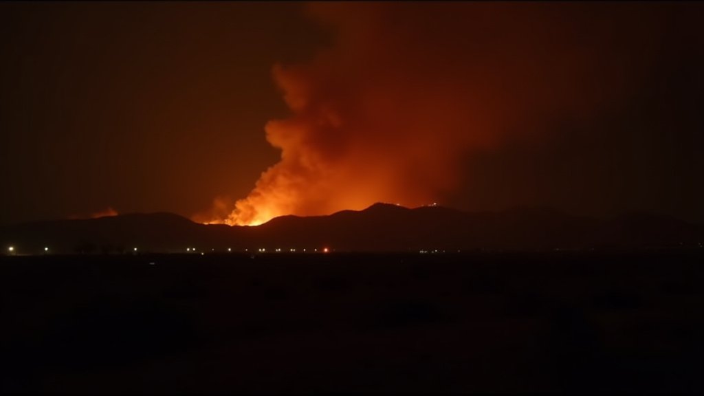
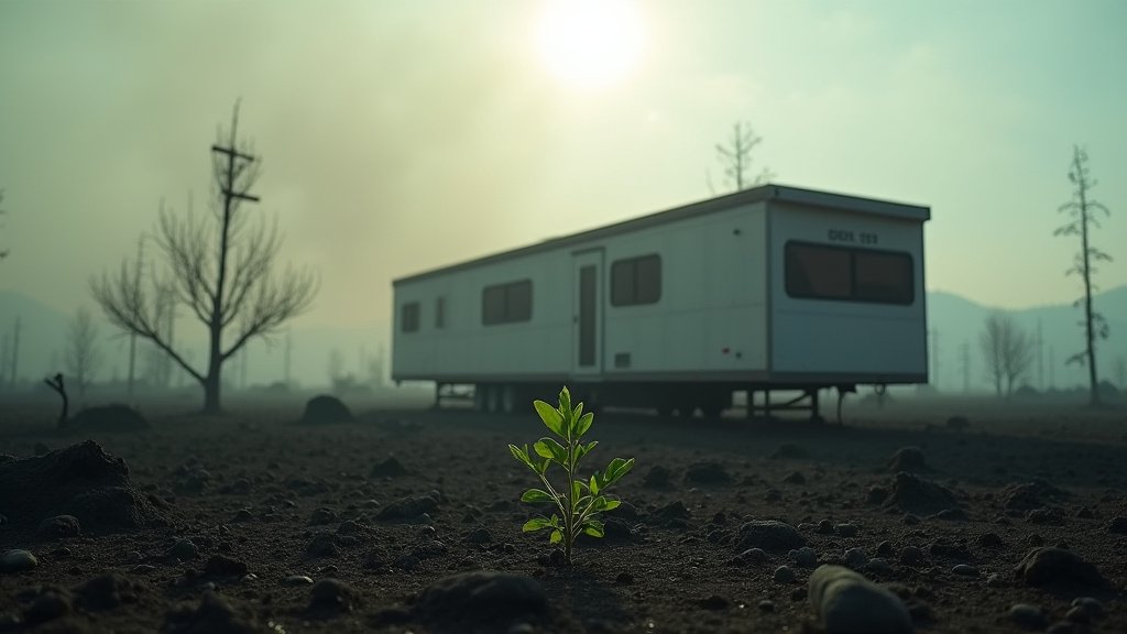
From an ecological perspective, this late-season moisture is being viewed with cautious optimism. Southern California’s wildfire resilience is often tied to the moisture levels retained in the high-elevation snowpack. While this storm does not constitute a major drought-buster, any precipitation that adds to the soil moisture content in the mountain ranges is beneficial as the region looks toward the summer fire season. Experts are monitoring whether this dampening effect will be enough to offset the persistent dryness caused by the record-breaking heat streaks witnessed earlier this year.
FAQ: People Also Ask
1. Is the storm completely over in Southern California?
Yes. As of Monday, April 13, the National Weather Service has allowed all active winter weather advisories to expire. While some lingering clouds and cool temperatures will persist, the significant threat of snow and heavy precipitation has moved out of the region.
2. Are mountain roads like the I-5 Grapevine safe to drive?
Generally, yes. However, travelers should remain cautious of icy patches, particularly in shaded areas that may have experienced overnight refreezing. Always verify current chain control status with Caltrans before attempting mountain travel.
3. Will this storm affect long-term wildfire risk?
This event provides a minor, beneficial boost to soil moisture in high-elevation areas. However, experts note that one isolated storm is rarely sufficient to fundamentally alter the wildfire trajectory for the upcoming summer season, especially following an abnormally warm and dry start to the year.
4. What weather should I expect for the remainder of the week?
The forecast shows a warming and drying trend. Southern California is expected to return to sunny, seasonal spring temperatures by mid-week, with no major storm systems currently on the horizon.