Los Angeles and surrounding Southern California regions are preparing for another significant Los Angeles Storm system set to arrive on Thursday, November 20, 2025. While not anticipated to be as intense as the recent weekend deluge, this new weather event is expected to bring moderate rainfall, mountain snow, and potential weather disruptions, including the cancellation of popular outdoor events. This particular Los Angeles Storm adds to a notably wet November for the region.
Los Angeles Storm System Details and Timing
The approaching Los Angeles Storm is being driven by a “cut-off low,” a weather system that is detached from the main jet stream, making its movement and intensity somewhat unpredictable. Forecasters indicate that the system will begin impacting the area on Thursday, with a low chance of rain in the morning increasing significantly by the afternoon and evening. Chances of rain are expected to be between 80% and 100% by Thursday evening, with showers potentially persisting into Friday morning. Some reports suggest that rain could continue into Saturday morning in certain parts of Los Angeles County, indicative of the ongoing Los Angeles Storm pattern.
Rainfall and Snowfall Forecasts for the Los Angeles Storm
Coastal and valley areas of Los Angeles County are expected to receive between half an inch and one inch of rain from this Los Angeles Storm. Foothill and mountain communities, however, are likely to see higher accumulations, with forecasts predicting 1 to 2 inches of rainfall. There is also a notable possibility of heavier downpours, with a 3-in-5 chance of rain rates reaching half an inch per hour between Pasadena and the L.A./Orange County border from Thursday night into Friday morning. The Southern California weather patterns are particularly dynamic this season, with this Los Angeles Storm being a prime example.
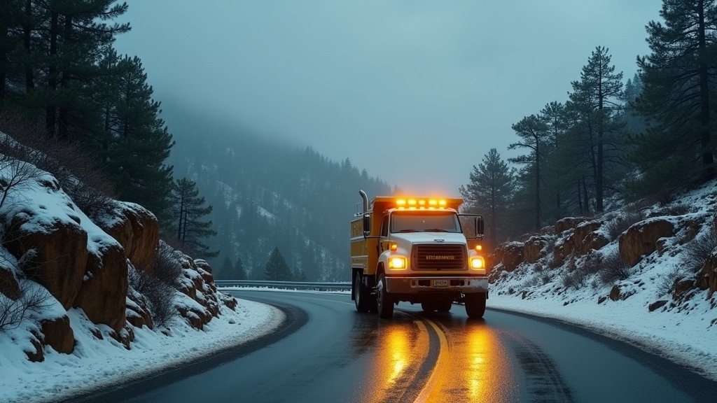
In the higher elevations, the storm is bringing a wintry mix. The San Gabriel Mountains in L.A. County, including areas like Mt. Baldy and Wrightwood, could receive heavy, wet snow accumulations of up to 8 inches above 6,000 feet. This has prompted the National Weather Service (NWS) to issue a Winter Storm Watch for these mountainous regions, valid from Thursday afternoon through Saturday morning. Snowfall is also expected in the mountains of San Bernardino and Riverside counties, with significant accumulations possible at higher elevations, contributing to the overall Southern California storm impact.
Potential Impacts and Advisories for this Los Angeles Storm
Although this Los Angeles Storm is not expected to be as severe as the previous one, it arrives at a time when soils are already saturated from recent heavy rains. This increases the risk of localized road flooding, mudslides, and rockslides, particularly in areas with recent burn scars. Officials are advising residents to remain alert and monitor weather updates. Cancellations of outdoor events are a possibility due to the rainfall from the Los Angeles Storm.
The NWS has issued Winter Weather Advisories for the Western and Eastern San Gabriel Mountains, warning of moderate snow accumulations and slippery road conditions that could impact the Thursday evening and Friday morning commutes. Gusty winds are also anticipated, with potential for wind gusts up to 50 mph in isolated thunderstorm cells. There is also a remote risk of a tornado, mainly over Los Angeles County Thursday night during this active Los Angeles Storm.
Context: A Wet November Continues with the Los Angeles Storm
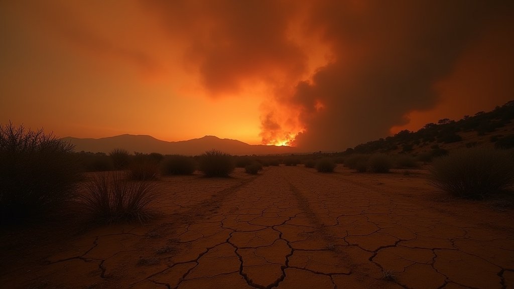
This approaching system marks another chapter in what has been an unusually wet start to the rainy season for Southern California. By mid-November 2025, Los Angeles had already received nearly ten times its average rainfall for the month, making it one of the wettest Novembers on record, significantly amplified by this latest Los Angeles Storm. The substantial precipitation is proving beneficial in dampening the autumn fire season, a welcome respite for a region often battling dry conditions and wildfires. The November rainfall has been a key feature of the recent weather.
While the recent rainfall has been largely beneficial, the continued wet pattern highlights the importance of preparedness. Los Angeles County Public Works has encouraged residents to prepare for the upcoming storm, offering sandbags in vulnerable areas and reminding citizens to report storm-related issues to their 24/7 Dispatch Center. This ongoing Southern California storm underscores the need for vigilance.
Looking Ahead After the Los Angeles Storm
Following this mid-week storm, drier and warmer weather is generally expected to return by the weekend and continue through Thanksgiving week. Temperatures are predicted to rise into the mid-60s to low 70s. However, forecasters emphasize the need to stay informed about the latest weather updates, especially regarding potential flash flooding and mountain travel conditions, as storm systems can evolve. The news of ongoing storms provides critical information for residents planning outdoor activities or travel during this popular season, particularly concerning the continuing Los Angeles Storm and its aftermath.
Residents are urged to stay informed through official channels and to take necessary precautions to ensure safety during this active weather period. The consistent influx of moisture from events like this Los Angeles Storm is reshaping the region’s water outlook as the dry season approaches its typical end.